Videos
Photos
Maps
Documents
Aerial photography by Zeke Lunder, 2009
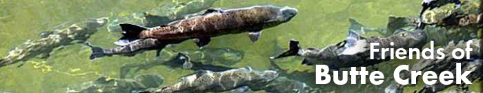
Friends of Butte Creek
2024 West Sacramento Ave. Chico, CA 95973
Email: friends@buttecreek.org
Copyright © Friends of Butte Creek.All rights reserved.
Projects
DeSabla-Centerville Relicensing
Stewardship Council
Butte County General Plan
Environmental Education
Wild and Scenic
Creek Watching
Creek Flow & Temps
Salmon Report
Fishing Report
Weather & Climate
News/Events
Film Festivals
Salmon Festivals
Salmon Tours
Education Events
Resources
About Us
History
Help Us Grow!
Contact Us